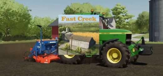


LS 22 St Edward, NE v1.0.0.0
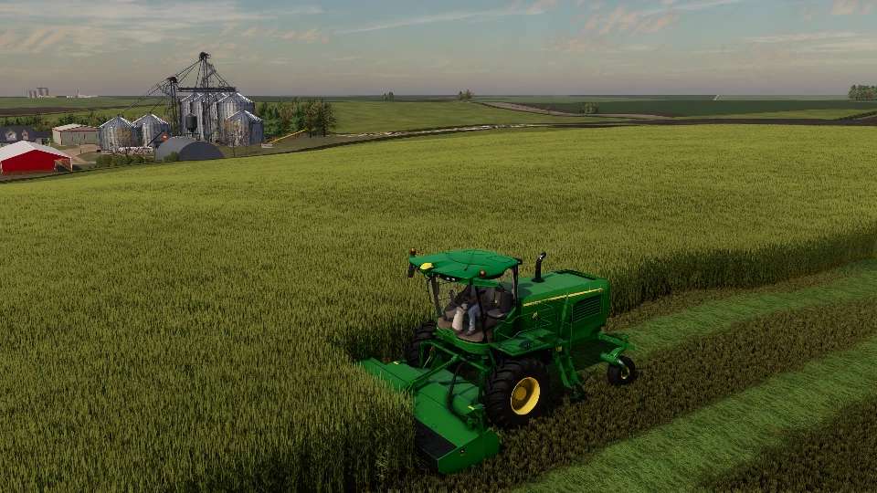
4X (4km x 4km) map based on Real Terrain Data near Saint Edward, Nebraska. Large rolling hills and variable terrain will give your implements a test of their flexibility!
Map Features:
Real Terrain Data
Multi Terrain Angle
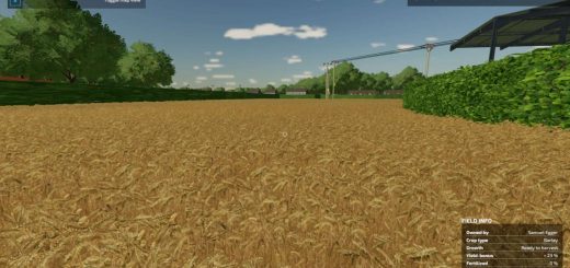
Custom Soilmap
Alfalfa, Triticale, peas, added crops
Custom Corn, milo, Alfalfa, soybean textures
Seasonal Foliage and Seasonal map borders
RCR – Row crop Corn, Row crop soybeans are setup
Swathable Wheat, Barley, Oats Use SwathAddon Mod
Realistic Erosion effects on terrain
MaizePlus ready
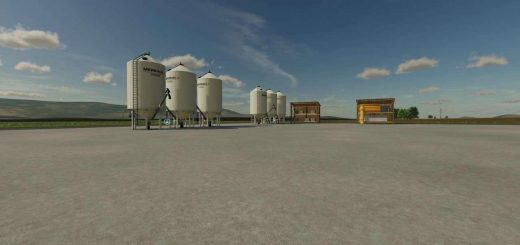
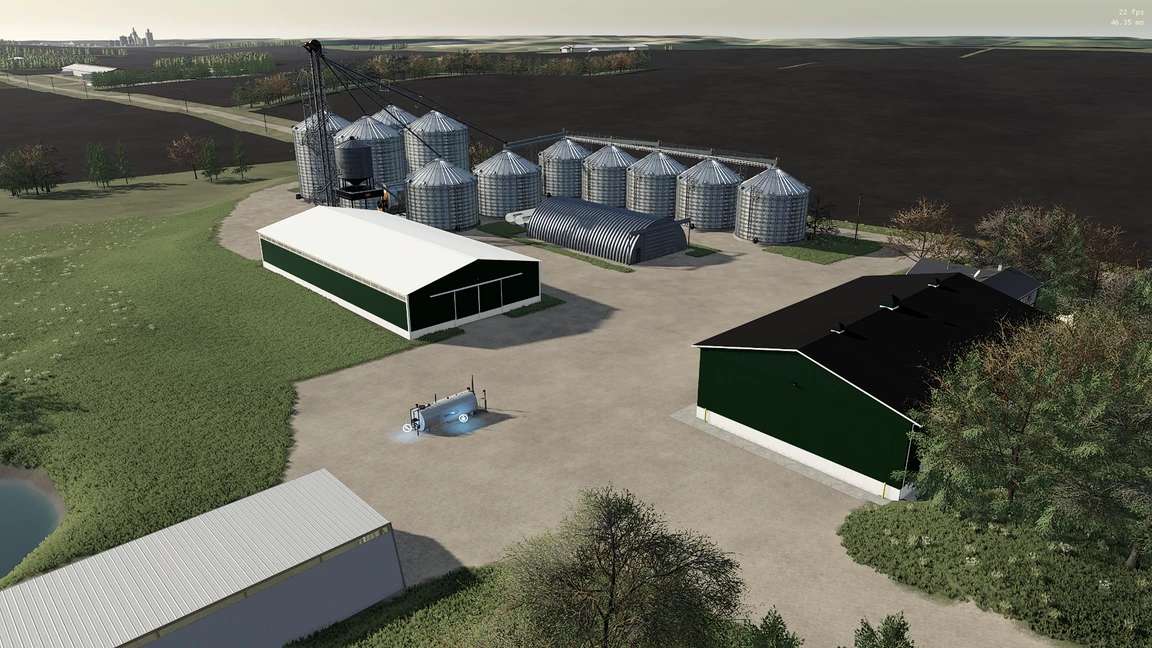
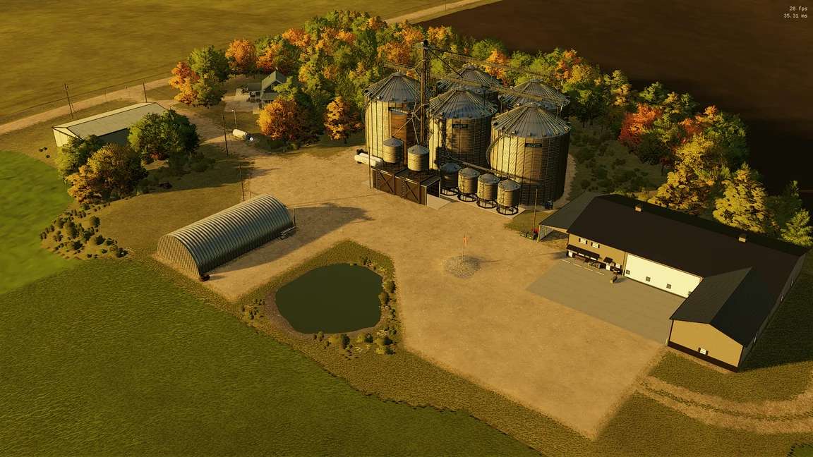
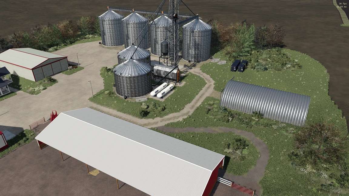
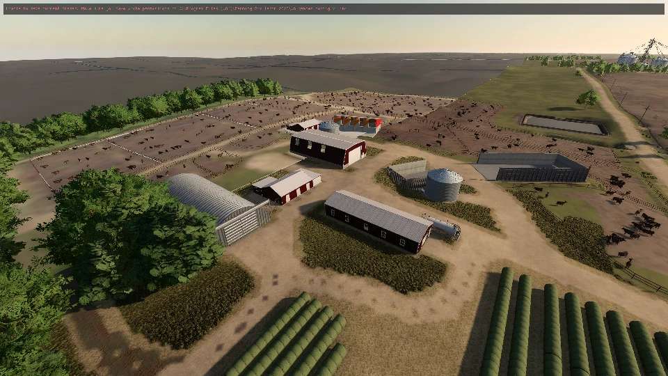
2.5 Dairies, 1 large feedlot, 1 small cattle farm, 1 hog building
Custom Freestall Barns (Atakan)
Custom License Plates for Nebraska (credit – Atakan)
Most buildings/placeables baked into map – no extra mods needed
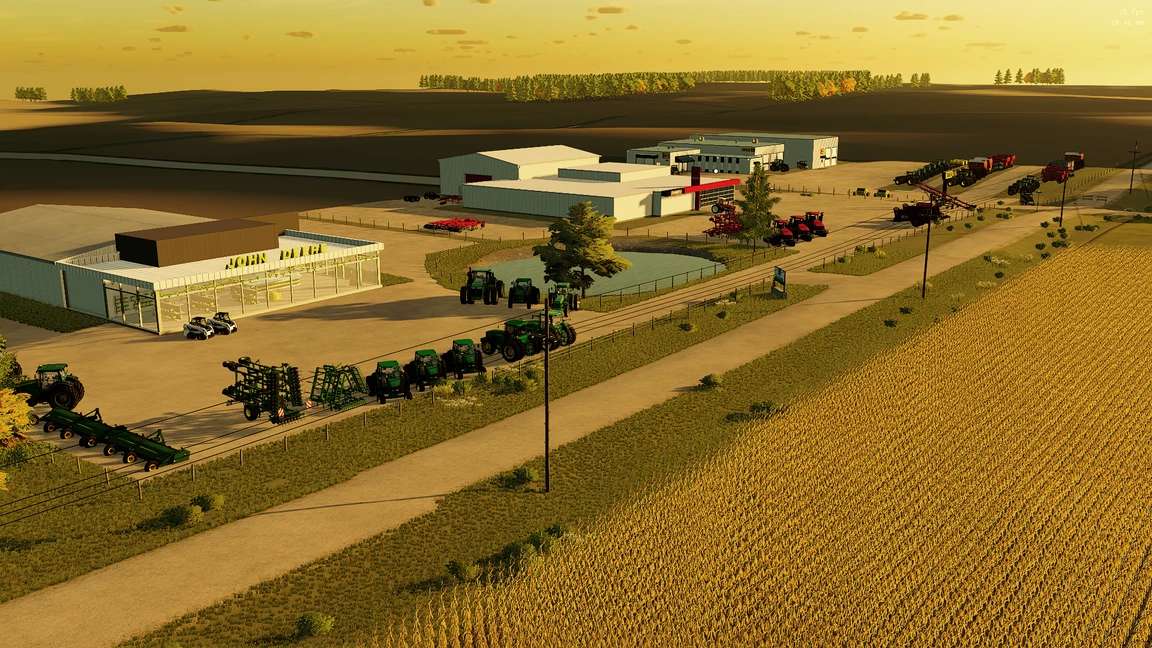
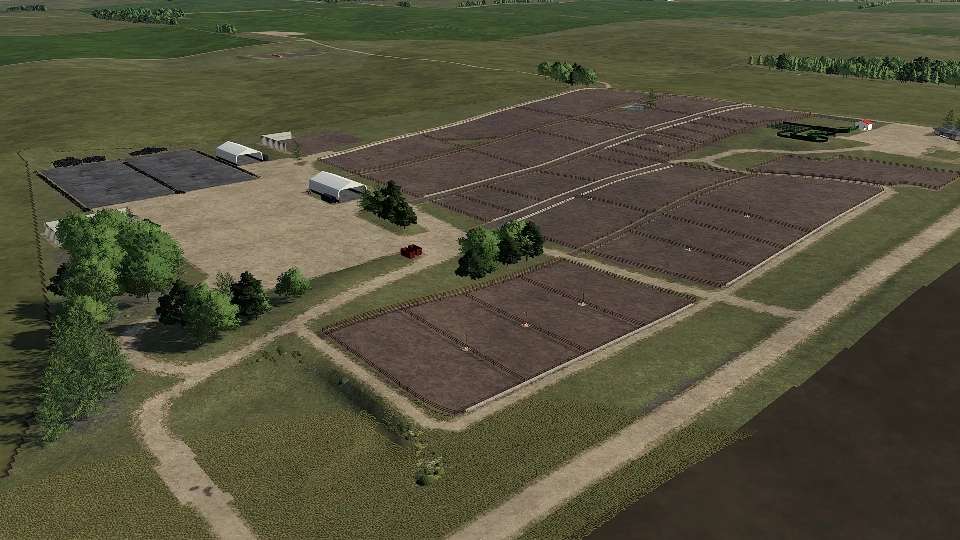
Custom Farms based off of Real-Life locations. Some from this area, some from others
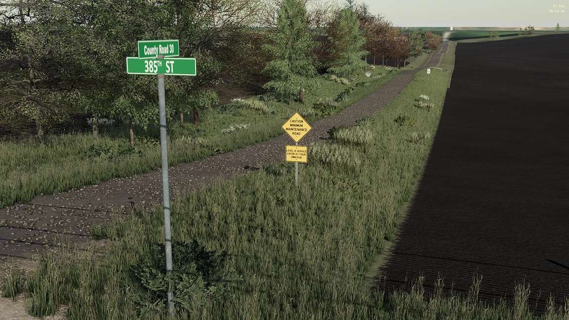
Dirt roads with rocks/pebbles
This map was not done alone. I put this map together but used plenty of assets, objects, buildings, etc from the community. Examples are:
SunCor Ethanol (UMRV)
Galt Coop (Medicine Creek)
Pioneer Seed Dealership (River Bottom Customs)
Nutrien Ag Solutions (Windchaser/LBJ Media)
Ashton Corners Dairy Farm (MRG)
John Deere Dealership (Westby, WI by Tired Iron/MB Farms)
Case IH Dealer (Midwest Horizons – Txzar)
Weigh station (Cunningham Modding, I added the scale/probe animation)
90×200 Shed (Trailer Park Farms)
Map decorative objects, traffic, etc from Bronkema’s public releases
Bryce O for creative insight and extensive testing
And many more!
For the scale/probe, you can get out of your vehicle and “click” and the animation should start to remove the collision.
9/15/2024 changelog
A few floating objects and terrain issues were discovered.
AutoDrive/ModDesc conflict causing saving issues.
Binsite B reverted to standard silo. I left the xml there if someone wants to fix it up and use it with State Controller, but for the general public, it’s back to a regular silo system.
Meridian Bins weren’t cooperating, so removed them to allow the use of working placeable.